Sardines: landings up 66%, and GPS for fishing boats
Sardine landings jumped 66% in eight months. As trips to sea multiply, GPS tracking protects the boat, the crew and the fuel.
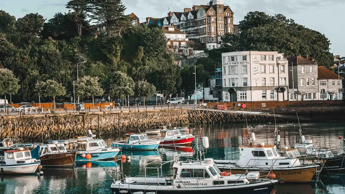
A skipper comes back to port with a full hold. It is good news, but it hides another: more trips, more engine hours, more nights when the boat is left unwatched at the quay. The 2026 sardine figures point that way.
What the figures say
According to Hespress (15 September 2026), landings of seafood reached 786,000 tonnes over the first eight months of the year, worth 12.5 billion dirhams. Volume is up 6% and value 4% compared with 2025.
Sardines drive the whole: about 394,200 tonnes from January to August, against 237,800 tonnes a year earlier, an increase of 66%. The paper names Laâyoune, Dakhla, Tan-Tan and Sidi Ifni first.
“Sardines are emerging as one of the main drivers of growth in the sector.”
For a boat owner or a skipper in small-scale fishing, that means a busier activity. And a busier activity exposes the fleet more: outboard engines, generators, onboard instruments, fuel in the hold.
What changes on the water and at the quay
More boats at sea also means more situations where the same questions come up:
- Where is the boat right now? The family and the owner want to know when the weather turns.
- What time did it leave port, and when did it return?
- Did the engine run at night, with nobody on board?
- How much fuel was really used on the trip?
A marine GPS tracker answers these four points without the skipper having to fill in a logbook.
A concrete example
Take an owner in Tan-Tan with three small boats and a sardine vessel. He cannot be at every quay at every departure. With a tracker, he opens the platform map on his phone and sees the four positions. He sets a zone around the port: if a boat leaves it at 2 a.m. without being planned, he gets an alert. In the evening, the history shows him the day’s route and stops.
This example is an illustration, not a real customer.
What GPS tracking brings in practice
| Need | Useful function |
|---|---|
| Know where the boat is | Live tracking on a map |
| Prevent theft or unauthorised use | Zone around the port and exit alert |
| Understand a trip | History of routes and stops |
| Limit fuel waste | Fuel sensor, depending on the installation |
| Find the trace after an incident | Last known position and history |
Tracking does not replace the VHF radio, the life jackets or the distress beacons that maritime regulations require. It adds to the existing safety equipment. In case of theft, no tracker guarantees that the boat will be found, but the history and the last position help the authorities in their investigation.
What to check before equipping your boats
- Network coverage: a SIM-based tracker works near the coast. Further out, transmission depends on coverage. Ask what is planned for areas without a network.
- Power supply: the unit must withstand humidity, sea spray and the voltage variations of a marine engine.
- Installation: a discreet, protected spot is better.
- Your crews: tell them. If tracking concerns employees, the CNDP (Morocco’s personal data protection authority) and law 09-08 apply; see our article on geolocating employees.
Where to start
Start with the boat that goes out most often or the one that has the least supervision in port. Observe for two or three weeks: times, routes, consumption. Then extend to the fleet.
For fishing boats as for pleasure craft, HTC Solutions’ maritime solution is designed for the marine environment, and the maritime sector page details the uses. The platform brings together the map, the alerts and the history.
A boat to equip in Tangier or elsewhere in Morocco? Talk to the HTC Solutions team.