Rural school transport: after the Oulmès tragedy, what GPS changes for operators
After the Oulmès accident, parents are demanding safe school transport. What GPS tracking offers operators: routes, speed, stops and alerts for each vehicle.
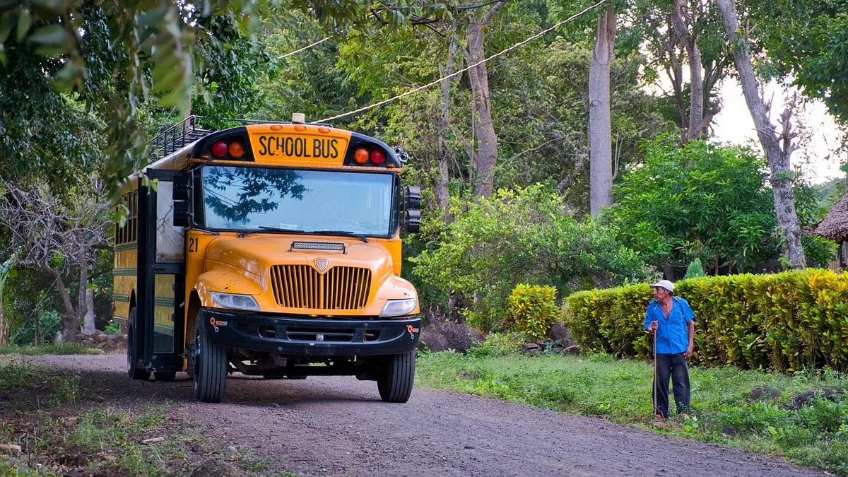
On 22 May 2026, a pick-up truck used for unregulated passenger transport overturned near Oulmès, in the province of Khémisset. Three people died, including a 10-year-old child. Almost six months later, the question comes back at the start of every school year: how do you get pupils from the douars (rural hamlets) to school in a suitable vehicle, driven carefully and closely monitored? For a school transport operator, a minibus owner or an association running a bus, GPS tracking gives concrete answers.
What the news says
According to Hespress (26 May 2026), the accident took place on a Friday around 3 pm on the road between Tarmilat and the douar of Zkit. The Oulmès School Youth Association says the vehicle was carrying more than 46 people. The director of the Khémisset provincial hospital told state television that 37 injured people had been admitted.
The association is calling for an “immediate, serious and transparent” investigation, a free and safe public school transport fleet for the douars, and repairs to the roads.
The subject goes beyond this tragedy. The magazine LeBrief (1 September 2025) reports that a school transport subscription can vary threefold depending on the school. A school head in Lissasfa explains there that he requires his providers to carry 28 pupils on a 28-seat bus. He adds: “We cannot accept that our buses carry twice their capacity.” This is the account of a single school, but it describes a well-known tension: the cheapest offer is sometimes the one that loads the most.
What GPS can do for a school transport operator
A tracker does not replace vehicle checks, respect for seat numbers or driver training. It gives the manager a view of what really happens on the road.
- Live tracking. The school, the operator or the association sees where each vehicle is on the map, at any point of the route.
- Speed alerts. You set a threshold, and the manager receives a message when a driver exceeds it, on a track or on a national road.
- Zones and stops. You draw the planned route and the pick-up points. Leaving the route or a long stop in the wrong place triggers an alert.
- History. Every journey is kept: departure and arrival times, stops, kilometres driven. In a dispute with a family or a commune, you have dated data.
- Timetables kept. A route running late in the morning is spotted quickly, and you can warn the families rather than leave children waiting by the roadside.
For coaches and minibuses, the team can also pair tracking with an RFID reader, which records pupils getting on and off. This is covered in our guide to GPS and RFID.
A concrete example
Take a fictional operator in the Khémisset region running three routes morning and evening with two minibuses and one coach. The manager cannot be in all three vehicles. With a tracker on each vehicle, he opens his platform at 7 am, sees that the second minibus has stopped for twenty minutes off the planned route, and calls the driver. In the evening, he notices that another route went well above the speed threshold he had set, and speaks to the driver the next day, history in hand.
This example is illustrative. It shows the kind of situations a dashboard helps spot, without claiming that a tool alone prevents an accident.
What tracking does not replace
| Subject | Who handles it |
|---|---|
| Number of seats and overloading | The operator, according to the vehicle’s capacity |
| Vehicle condition and roadworthiness test | The owner, under the rules in force |
| Transport authorisation | The competent authorities |
| Tracking of position, speed and timetables | The GPS tracker |
For the rules that apply to your school transport activity, contact the transport authority of your province or the NARSA (the Moroccan National Road Safety Agency). This text is not legal advice.
How to start
- List your vehicles and routes, with timetables and pick-up points.
- Choose the speed threshold and the zones to monitor.
- Decide who receives the alerts: in class, at the office or at the town hall.
- Review the history every week with the drivers.
Installation is possible anywhere in Morocco, including rural communes, subject to mobile network coverage along the route.
Do you manage school buses or minibuses? Discover our school transport solution or contact HTC Solutions.